Artificial satellites orbiting the Earth and other planets collect information about their surfaces so that we can observe changes and events that are difficult to assess or notice from the ground. This information is called satellite imagery or data. How is this possible? Remote sensing technologies, including SAR, give us data with many valuable applications on land and at sea. It is an invaluable data source for governments and various organizations, allowing timely detection and response to events, which is critical in natural disasters.
The data available thanks to these space devices, including historical and current satellite imagery, can also be used to improve the services provided, business development and much more, which is important in the modern world.
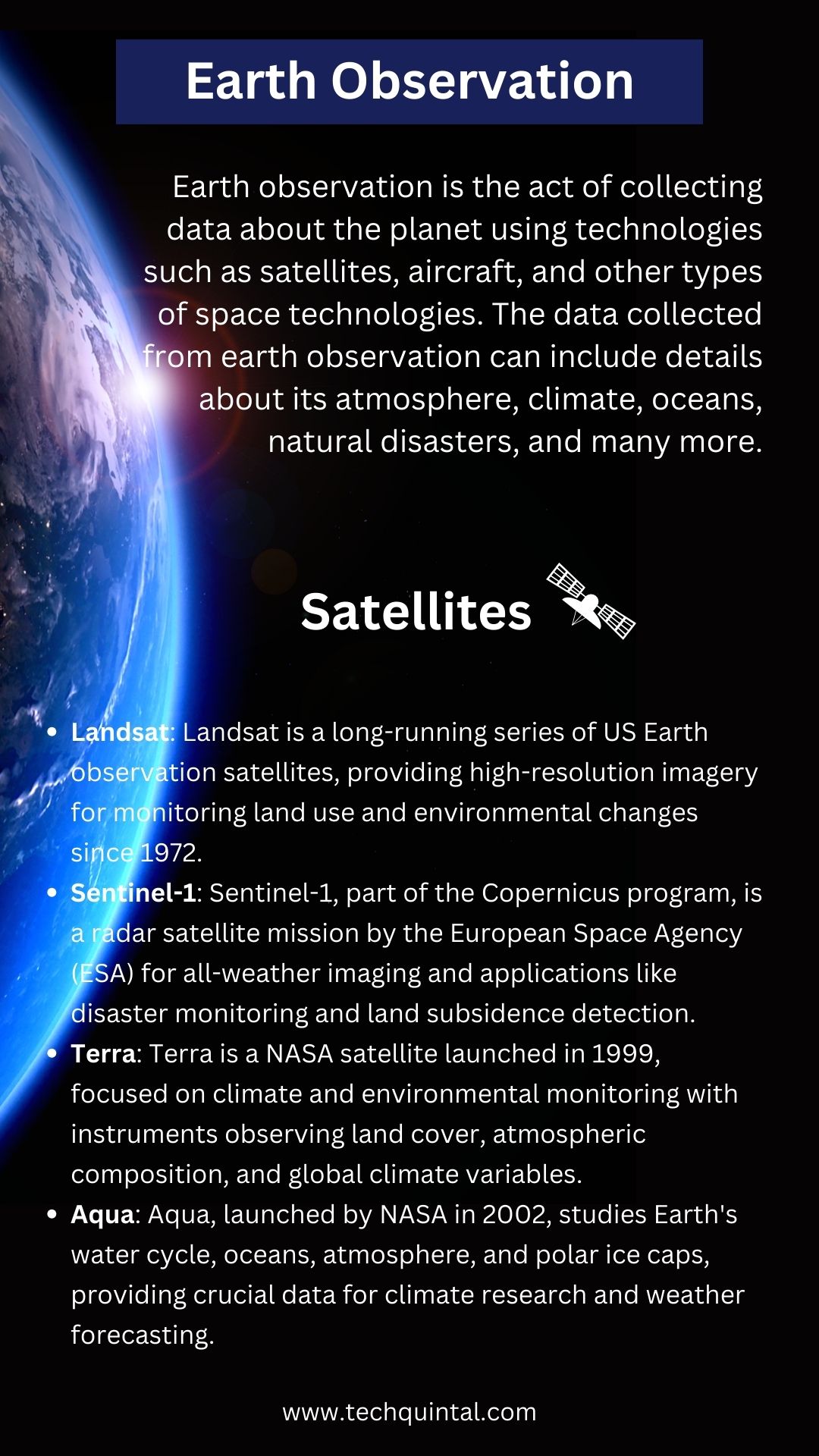
Earth Observation Infographic

What is Earth Observation?
Earth observation is the act of collecting data about the planet using technologies such as satellites, aircraft, and other types of space technologies. The data collected from earth observation can include details about its atmosphere, climate, oceans, natural disasters, and many more.
These details are used to enhance our knowledge about our planet and its habitat. Also, this information is used to predict weather, alert us about natural calamities, and improve our overall existence as a species.
This video explains how earth observation works –
What is Satellite Data?
Satellite data, a pivotal element of earth observation, encapsulates the myriad details gathered about our planet from space. Orbiting overhead, satellites tirelessly collect valuable information on the atmosphere, climate, oceans, and even natural disasters.
This intricate array of data is key to understanding our world’s dynamic nature. It enables accurate weather prediction, and real-time alerts for impending calamities, and fuels informed decision-making to safeguard our species. Satellite data, therefore, plays an unparalleled role in enhancing our planetary knowledge and refining our existence.
Data from orbit enables a deep understanding of the events’ development and quick response to problems detected thanks to daily satellite imagery of the selected AOI. Numerous satellite data applications offer a wide range of local and global benefits.
Utilizing Satellite Data
Satellite imagery has been a source of reliable information about the Earth’s surface for many years. The applications include monitoring vegetation, global weather patterns, ocean currents and temperatures, and a host of other factors. High-resolution imaging technology, the decrease in costs and greater accessibility allow more application options for more categories of users.
The continued advancement of remote sensing technology has also brought about the development of hyperspectral and multispectral sensors, which can assist in identifying objects, materials, and processes. And the live satellite view enables one to be aware of the events as soon as possible. Our article on sensor technology explains this in detail.
Satellite imagery is used for ship tracking, routing, and search and rescue operations for maritime navigation and transportation. The technology plays a crucial role in monitoring and safeguarding marine ecosystems, such as coral reefs and coastal areas. It is also used to assess the likelihood of coastal flooding and plan strategies to mitigate the damage. Additionally, it is employed for ocean mapping and monitoring purposes.
The data from the orbit is a valuable tool for surveillance, investigation, and analysis of crime scenes. It’s also a crucial source of information about criminal activities worldwide. GIS maps and recent satellite images applications have significantly enhanced the efficiency and speed of retrieving and analyzing data, leading to better crime detection capabilities.
Satellite imagery has become a valuable asset in military operations and intelligence. These images identify enemy positions, determine distances, and strategize troop movements.
The application of this technology by the military is a critical component of strategic planning and surveillance. Through the data from space the military can assess the dimensions, terrain, and other pertinent characteristics of enemy territory with great precision. It enables the military to calculate troop movements and accurately plan their attacks.
Satellite data presents a valuable opportunity to produce and maintain accurate GIS maps while detecting noteworthy shifts in urban land cover and land use. The ability to obtain the most recent satellite images provides:
- Frequent coverage.
- Allowing for more in-depth analysis and comparison of different time sequences.
- Facilitating the classification of environmentally friendly and sustainable areas for potential development.
The method helps to pinpoint development-appropriate areas precisely while considering environmental impact.
What is EOSDA LandViewer?
EOS Data Analytics, a provider of satellite imagery analytics for various industries with deep experience and a high level of expertise, developed the EOSDA LandViewer digital satellite platform. This tool’s users can access multiple options to work with a satellite view of the earth, from quick image search to visualization and data processing, to get the most out of images for solving their tasks.
Medium-resolution satellite images (up to 10 pieces per day) can be obtained on the platform for free. High and very high-resolution images obtained from various satellites are also available for purchase. Search and processing are carried out on a single platform, and users do not need to switch between several tools.
EOSDA LandViewer: Benefits and Features
Do you need help locating the high-resolution satellite image of the Earth that meets your requirements? EOSDA LandViewer is an exceptional tool that instantly focuses on your area of interest, enabling users to locate the exact image they need with minimal effort. Simply select your area of interest anywhere in the world on the map, and the server will provide the necessary data.
The platform provides on-the-fly spectral index calculations to process images and get valuable information from space data. Different combinations of bands available through EOSDA LandViewer can be applied to the same viewing angle to get more details from the data from any satellite image.
The Mosaic feature ensures that every site of AOI will be noticed. Users can easily combine the latest satellite images captured by the same sensor for a specific location. It will cover the entire AOI and provide all the necessary information.
The service provides time series analysis to help visualize data dynamics within the AOI on a graph. A comprehensive array of indicators is available for image processing, tailor-made to suit your specific requirements for detecting changes. These indicators encompass a diverse range of options, including but not limited to land use, vegetation growth, crop identification, and more.
Split View compares old and new satellite images of an area of interest. You can gain insights into the dynamics of change by using different combinations. Thanks to the Time-lapse animation feature, users can create a video from a series of images, including historical and near real-time satellite views.
The Clustering feature separates data in an image, highlighting them on a map. It focuses on crop yields, vegetation, water, deforestation, etc. The Preview feature and image upload options enhance the convenience of the process.
The Future of Earth Exploration: Prediction
The future is bright. We are going to experience the biggest wave of improvements in every technological field, including earth exploration. Here is our prediction for the future of space exploration in the next 10 years.
| Year | Technology | Impact on Earth Observation |
|---|---|---|
| 2023 | Advanced AI Integrations | Improved data interpretation, anomaly detection, and predictive models |
| 2024 | Next-Gen Microsatellites | Increased frequency of global observations, improved resolution |
| 2025 | Quantum Sensors | Enhanced precision in measurements (e.g. gravitational fields, magnetic fields) |
| 2026 | Hyperspectral Imaging | More detailed analysis of land and atmospheric composition |
| 2027 | IoT Integration | Real-time ground-level details augmenting satellite data |
| 2028 | Autonomous Satellite Swarms | Coordinated observations, data redundancy, high-resolution imaging |
| 2029 | On-board Processing | Quick decision-making in space, reducing the need for ground-station communication |
| 2030 | Space-based Solar Power Satellites | Uninterrupted power supply for satellites, enabling more complex missions |
| 2031 | Interplanetary Observatories | Extended observation range beyond earth (e.g. for space weather, asteroids) |
| 2032 | Integration of Quantum Computing | Better image processing and data analysis capabilities |
Key Challenges in Earth Observation
Even though the future is brighter, we still face a lot of challenges when it comes to space exploration. Here are some of them.
- Balancing resolution and coverage
- Handling the vast amount of data generated
- Ensuring timely access to data
- Mitigating environmental risks to satellites (like space debris)
- Maintaining power supplies for longer missions
Overcoming these challengers will help us explore the depth of space, and the darkness that lies beyond our reach, and understand the existence of our little planet better.