Thanks to Google Services, you can easily track your or your loved ones’ location anytime. There are many reasons you would want to track where you are, and the most prominent one is security—perhaps you want to find a lost or stolen device. There are plenty of apps, GPS-based services, and websites offering location-tracking services. You can use them for various purposes, including safety, security, coordination, and fleet management. With that, let’s provide an answer to the question, “what is my location?” This is how to find your location.
How to quickly find your location?
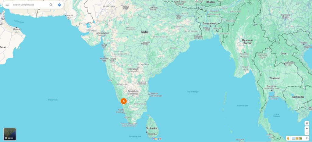
You can quickly find your location by using a GPS-enabled device like a smartphone or tablet and accessing a map application such as Google Maps. These applications use satellite data to pinpoint your exact location. Your location is typically indicated by a blue dot on the map.
Guide to finding your location using Google Maps
Google Maps is a fantastic tool for getting directions to distant cities and obscure shopping malls. What if you open it up only to discover that you have no idea where you are right now? That’s not an issue. Every version of Google Maps has a “Current Location” option. Tapping this button will zoom the map to your exact position, either forward or backward (give or take a few hundred feet).

We will demonstrate getting your current location in Google Maps on a computer or phone. Do this:
- Open Google Maps on your computer or mobile device and wait for the map to download.
- On the right side of the screen, click the “Current Location” icon below the search bar.
- Your current location will now appear in the center of the map. You may have to zoom in or out to see your blue dot if you’re using a computer.
- To share your location with someone else, click the “Send this location” link that appears below your coordinates.
- You can also find your current location by typing “Where am I?” into the search bar on Google Maps.
Reminder: Connect your device to the internet before you proceed with the steps above. Even if you’ve stored some offline maps, Google Maps will need access to the internet in order to determine your position.
Also, your internet speed determines how quickly Google Maps can be sure of your position. If Google Maps can’t locate you because of a bad cell signal or slow connection, try opening the app directly from your home screen. This will give you one last chance to turn on Location Services for the software.
Using location finder websites to discover your location
There are many online portals that offer you free location tracking services. The two most popular ones are:
- Find my iPhone for iOS devices
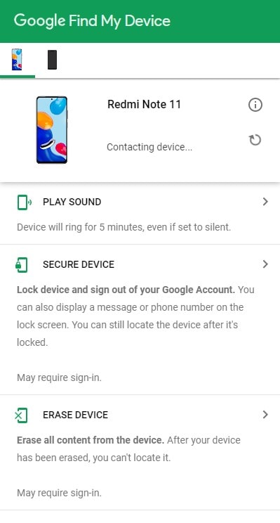
- Find My Device for Android devices
Many third-party websites GPS (Global Positioning System) data from your device to pinpoint its location on a map. To track your location using these websites, you need to:
- Open the website on any internet-connected device.
- Enter your login details and sign in (The registration process at each site may differ).
- Once you’re signed in, locate the “Find my Device” or “Locate my Device” option and select it.
- The website will then use your device’s GPS data to specify its location on a map.

Again, these websites can only be used to track the location of devices connected to the internet. If your device is turned off or if it does not have an active internet connection, these websites cannot perform that function. It’s important to note that some websites may charge you for their services.
Using GPS to help find your location
Yes, if you want to find your location, then certainly you are using GPS. It is a system of more than 30 satellites that circle the Earth at a constant rate and send signals to the surface. We are able to perceive our location in real-time due to these revolving satellites.
Our smartphones and other location devices send and receive signals too. They come with a GPS receiver that is capable of listening to these signals from the satellites.
Thus, when they receive a signal, they use it to triangulate the location of the user of the device. Based on the distance of the satellite, the time spent receiving the signal, the rotation of the Earth, and other factors, a distance is calculated using four or more satellites for better accuracy. Which translates to our real-time location.
How accurate is a GPS?
The GPS system has become much more accurate over the years. Today, we use something called parallel multichannel designs. Thus, when turned on, the receiver is quick to lock onto the satellites and calculate the distance.
And with time, this has only strengthened, as today we are able to lock onto satellites and maintain tracking even in dense forests or in cities with tall buildings. Sure, there are still some atmospheric factors that can affect the accuracy of a GPS, but they are mostly measured in meters and not kilometers, which is nothing worth worrying about.
To learn more about GPS, you can read our article on how GPS works.
Position-tracking applications can also discover your location
Many GPS-based services offer you real-time location tracking services using mobile applications rather than websites. We don’t have a favorite, and they are abundant. You can search for them on Google Play Store or Apple App Store using keywords such as “location”, “position”, “GPS tracking”, “latitude/longitude”, “find me”, or “find my friends”.